
Explainer · November 5, 2026
The 2026 Hurricane Season, Explained: The Year the Atlantic Went Quiet
By Carlos Vargas, Editor · Published November 5, 2026 · Miami, FL
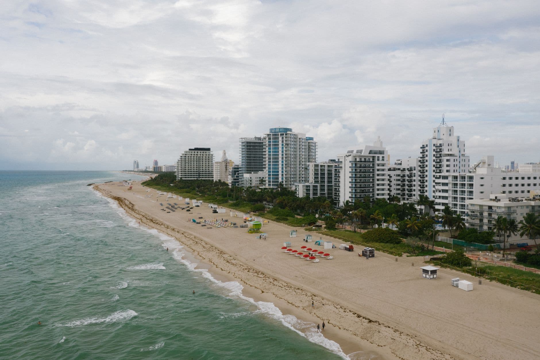
A cloudy South Florida shoreline. South Florida made it through the heart of the 2026 season without a single Atlantic hurricane forming anywhere in the basin — a first in more than a century of records. Photo: SFL Today.
Hurricane season does not officially end until November 30, but the 2026 Atlantic season has already made history — by barely showing up. Through late October, the National Hurricane Center's preliminary summary counts 10 named storms, exactly one hurricane, and one major hurricane. The season's total accumulated cyclone energy — the standard measure of how strong and long-lived the storms were — stood at 19.5, about 83 percent below normal for the date. For South Florida, it was the quiet season everyone hopes for and nobody should count on. Here is what happened, and what it actually teaches.
The record that tells the story
The season opened with Tropical Storm Arthur on June 17 and then produced a string of modest tropical storms — Bertha, Cristobal, Dolly, Edouard, Fay, Gonzalo among them — none of which reached the 74 mph line that defines a hurricane. July, August, and September — normally the season's violent core — passed without one. NASA noted that 2026 became the first Atlantic season in more than a century with no hurricane at all during July through September.
The drought broke on October 8, when Isaias finally became a hurricane — the latest-forming first hurricane of the satellite era, tying a 1905 storm for the latest on record in data back to 1851. Isaias strengthened over the Gulf to a Category 3 peak of about 121 mph, then made landfall near Destin, in the Florida Panhandle, on October 9 as a Category 2 with 105 mph winds, according to the National Weather Service. At least four deaths were linked to the storm and nearly 900,000 customers lost power. It remains, as this is published, the season's only hurricane — against a 30-year average of seven hurricanes and three major hurricanes in a full season.
Why it happened: El Niño ran the table
Forecasters saw this coming and said so. NOAA's May outlook already called for a below-normal season — 8 to 14 named storms, 3 to 6 hurricanes — and its August 6 update raised the odds of a below-normal outcome to 75 percent. The driver was one of the strongest El Niño events on record in the Pacific. El Niño reshapes the winds over the tropical Atlantic, increasing vertical wind shear — winds that change with height and tear developing storms apart — and sinking, dry air that starves them. The same pattern that suppressed the Atlantic supercharged storms elsewhere in the Pacific. The lesson inside the lesson: the seasonal outlooks were right this year, and the mechanism behind them is well understood.
What a quiet season does NOT mean
South Florida's 2026 risk never actually went to zero — it just changed shape. With no landfalling hurricane anywhere near the three counties, the season's local damage came from water in its slower forms: heavy rain, coastal flooding, and the fall king tides that flooded streets on sunny days. A tropical storm that stalls, a rain band that parks over one county, or a late-season storm forming close to home can still produce a billion-dollar flood in a "quiet" year. Isaias itself is the proof of how fast the story can change: the basin went from zero hurricanes to a major hurricane landfall in about a day of strengthening.
The season is ending the way it ran. The National Hurricane Center's October 31 outlook reported no active Atlantic tropical cyclone and no formation expected over the following seven days, and the next names on the 2026 list — Kyle, Leah, and Marco — are on pace to go unused. The official close comes November 30, and barring a very late surprise, 2026 will be filed as one of the least active Atlantic seasons in decades: the storms that did form stayed weak, short-lived, and — for South Florida — mercifully elsewhere.
The lessons worth keeping for June 1, 2027
- Prepare in spring, not on a forecast. Shutters, supplies, documents, and a plan are cheapest and easiest in May — and a quiet forecast is not a reason to skip them, because one storm is all a bad year takes.
- Flood is the standing risk. In South Florida, the water that gets into homes most years arrives as rain and tide, not as a named hurricane. Know your flood zone and treat flood insurance as a year-round decision, not a storm-week purchase — policies typically take 30 days to take effect.
- Read the outlook, respect the cone. NOAA's seasonal outlooks describe the basin, not your street. What protects you in any given week is the National Hurricane Center's forecast for a specific storm — the same alerts we carry on our news page.
- Don't let a quiet year erase the drill. The 2026 season ends November 30 and the next one opens June 1, 2027. El Niño fades and patterns flip; the Atlantic's quietest seasons have been followed by some of its busiest.
For county-level storm and flooding coverage as the season closes, follow our Miami, Fort Lauderdale, and Palm Beach pages.
Sources
- National Hurricane Center — preliminary 2026 Atlantic season summary (updated October 30, 2026): 10 named storms, 1 hurricane, 1 major hurricane, ACE of 19.5 (about 83 percent below normal).
- NOAA Climate Prediction Center — May 21 and August 6, 2026 season outlooks (below-normal season; 75 percent probability in August).
- National Weather Service, Mobile — Hurricane Isaias landfall near Destin, Florida, October 9, 2026, as a Category 2 (105 mph).
- NASA and FOX Weather reporting, October–November 2026 — latest first hurricane on record (tied 1905), first season in more than a century without a July–September hurricane, impacts attributed to Isaias.
Figures are preliminary National Hurricane Center numbers as of late October 2026; the official season runs through November 30 and final totals can change in post-season review.
SFL Today Originals
All stories →Explainers and deep dives written by the SFL Today team — the background behind the headlines, from king tides and county budgets to the plans reshaping downtown West Palm Beach.
South Florida This Week: 5 Stories to Watch, November 2–8
Election Day decides Florida's governor and a Senate seat, the NTSB investigates the Palm Beach County Learjet crash, flood watches and king tides bookend the week, and No. 1 Miami plays at Notre Dame.
ExplainerKing Tides in South Florida, Explained: Why Streets Flood on Sunny Days
Why streets flood on sunny days every fall — when the highest tides hit Miami, Fort Lauderdale, and Palm Beach, and which neighborhoods flood first.
ExplainerBroward's Sheriff Fight, Explained: A Locked Door, a $900 Million Budget, and a Vote to Sue
The fight over the Broward Sheriff's $900 million budget, explained — from the locked door to the county's vote to sue.
ExplainerWest Palm Beach Downtown Master Plan Explained: More Growth Approved, 25-Story Waterfront Towers Rejected
West Palm Beach approved more downtown growth — and rejected the 25-story waterfront towers. What the new master plan actually means.
ExplainerSouth Florida's Three Counties, Explained: Miami-Dade, Broward, and Palm Beach
How the region's three counties actually work — who runs what, where the lines are, and why it matters where you live.
ExplainerRaul Castro Arrest Warrant in Florida Explained: The Brothers to the Rescue Case, 30 Years Later
The Brothers to the Rescue shootdown, the Florida arrest warrant for Raul Castro, and why the case is back — 30 years later.